
Smart technology to boost Derby’s highway network
As part of a £52,484 project, Derby City Council is rolling out cutting edge smart technology to the city’s road network, which will help create a digital map of Derby’s road sign inventory.
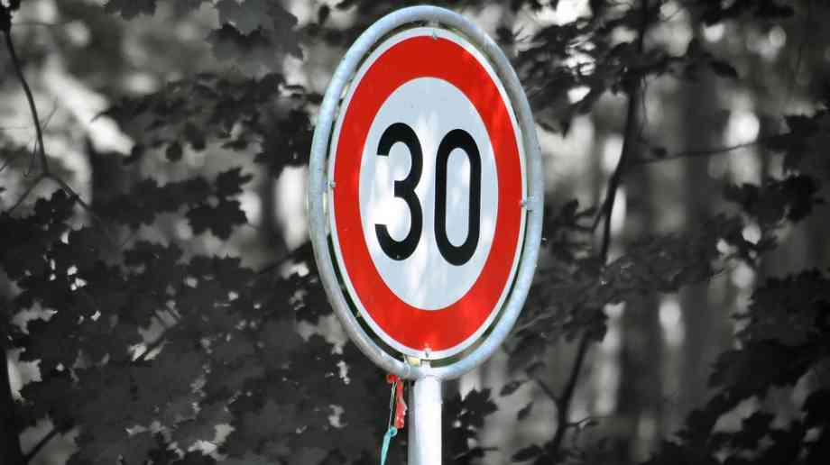
The project will use Computer Vision, a branch of Artificial Intelligence (AI), to automatically detect the position and condition of road signs across the city in real-time. The digital map can then be uploaded to specialist software that will learn to recognise the signs and enable the council to detect if a particular sign has been damaged, missing or is in need of repair.
Using a dash mounted mobile phone it is also hoped that the council’s bin lorries can help to alert Highways Maintenance to these defects as well as other issues, including potholes.
Similar projects are regularly used in Finland and Norway, where the software was tested and found to be around 98 per cent accurate.
Asaf Afzal, cabinet member for Neighbourhoods and public protection, said: “This project will allow the Council to manage its highway assets in a smarter, more efficient way. Our roads are the biggest asset we own, so it’s important we find new and innovative ways to manage them and keep Derby moving.
“The project is being undertaken in partnership with Vaisala Ltd and ISS Ltd who both already support the Council through winter maintenance and waste management operations .To have the support of these two enterprises working in partnership with us makes for a truly exciting venture. Being able to showcase connected vehicles using our own refuse fleet, we hope to exploit every opportunity to make efficiencies using our front line services.”
Please register to comment on this article
Latest news....

09/03/2020 - 11:50
More than 3.6 million additional cars were licensed between 2009 and 2019, enough to cover the entire British coastline.

06/03/2020 - 10:00
A cross-party group of MPs have launched a new parliamentary inquiry into bus services in shire counties and rural areas.

11/02/2020 - 10:00
Boris Johnson confirms HS2 will go ahead, alongside radical improvements to local transport networks across the country.

14/08/2019 - 09:50
The Department for Transport (DfT) has issued new guidance to help prevent terrorists getting access to commercial vehicles to be used in attacks.

13/08/2019 - 09:48
The Transport Committee recommends that government extends the ban on hand-held devices to hands-free phones
